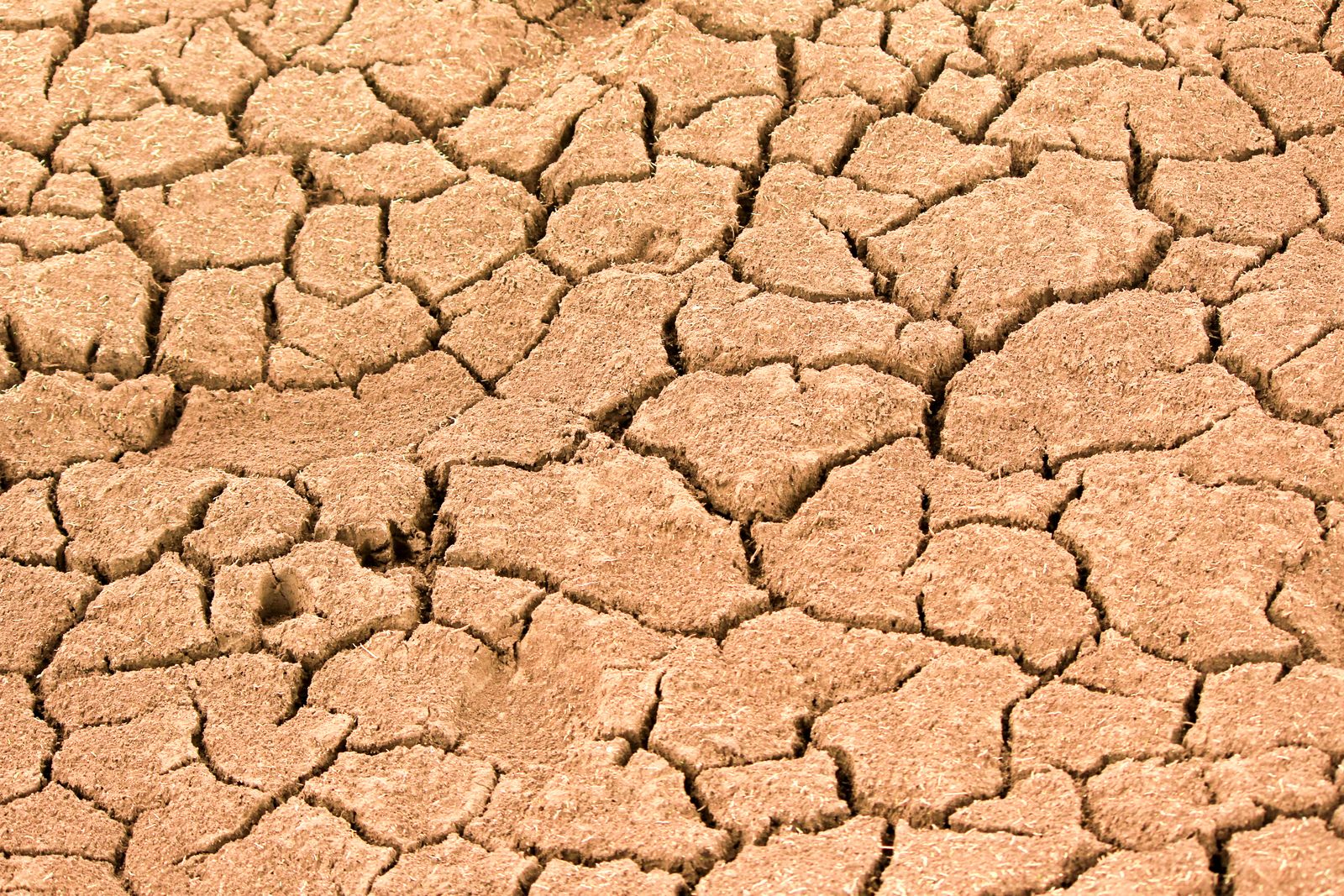
California’s Sustainable Groundwater Management Act, signed by Governor Jerry Brown on 16 September 2014, was the first time in the state’s history that pumping from underground aquifers came under any statewide rule at all. Before that, a landowner could sink a well as deep as a drill rig would go and pull up as much water as a pump could lift, and no agency could stop them. In parts of the San Joaquin Valley, that free-for-all had opened a subsidence bowl of roughly 1,200 square miles centred near the town of El Nido, where the land was dropping by nearly a foot a year — about 30 centimetres — as clay layers between aquifers collapsed into the space the water used to fill.
The law, known as SGMA (pronounced “sigma” by the people who work with it daily), did not turn off the pumps. It set a deadline. Local agencies in the most stressed basins have until 2040 to bring pumping and recharge back into balance, and until 2042 in less critical areas, with the State Water Resources Control Board held in reserve as a backstop if locals fail. Twelve years later, in September 2026, the deadline is close enough to see, and the ground in the valley is still sinking.
Why California waited until 2014
Other western US states had forms of groundwater regulation on the books by the time SGMA passed. California, the country’s largest agricultural producer, treated groundwater as a matter of property rights attached to the surface above it — a doctrine inherited from English common law and preserved through a century of drought, boom, and litigation.
The trigger was the 2012–2016 drought, which by the summer of 2014 had emptied surface reservoirs and pushed farmers to lean almost entirely on wells. Satellite measurements of the Central Valley recorded the aquifers losing water at rates that startled hydrologists who had watched the basin for decades. Domestic wells in Tulare and Madera counties went dry by the thousands. Families in small farmworker towns were bathing from bottled water delivered by tanker trucks.
The bill package passed a legislature that had spent most of the previous forty years refusing even to define what a groundwater basin was. The legal architecture SGMA built requires local groundwater sustainability agencies to write plans, submit them to the state Department of Water Resources, and be judged against measurable objectives for water levels, water quality, subsidence, and the health of streams that share water with the aquifer beneath them.
The land itself was falling
Subsidence is the visible fingerprint of overpumping. When water is drawn out of an aquifer faster than it recharges, the fine clay and silt layers sandwiched between water-bearing sands lose their pore pressure and compact. Once compacted, they do not spring back. The lost storage capacity is permanent.
The deepest record of that process sits southwest of the town of Mendota, where the land surface fell roughly 8.5 metres — 28 feet, the height of a three-storey house — between 1925 and 1977, the largest documented subsidence anywhere in the United States. By 1970, about half the San Joaquin Valley had dropped by more than a foot. Surface-water imports slowed the collapse in the 1970s. The drought years started it again, this time centred further north around El Nido.
The Friant-Kern Canal, a federal aqueduct that carries Sierra snowmelt to farms along the eastern edge of the San Joaquin Valley, sagged so far that its middle reach lost more than 60 percent of its design capacity. A rebuilt ten-mile section came online in 2024 at a cost above $300 million; the remaining stretch of the damaged 33 miles is still waiting. When land near Corcoran was dropping by close to a foot a year at the drought’s peak, subsidence stopped being an abstract hydrology problem and became a bill for infrastructure repair with the state’s name on it.
What the law actually requires
SGMA sorted California’s groundwater basins by risk. The basins classified as “critically overdrafted” — nearly all of them in the Central Valley and along the central coast — had to form sustainability agencies and submit plans by 2020. Medium- and high-priority basins had until 2022. Low-priority basins were exempt from planning but still monitored.
Each plan has to demonstrate how the basin will avoid six “undesirable results” by its deadline: chronic lowering of water levels, reduction of groundwater storage, seawater intrusion, degraded water quality, land subsidence, and depletion of interconnected surface water. That last category has produced the most legal friction, because streams and rivers running above a stressed aquifer lose their base flow when the water table drops below their beds — and those streams often carry salmon, or feed municipal supplies, or belong to senior water rights holders who never touched a well.
The Department of Water Resources reviews the plans. A plan judged inadequate does not by itself bring sanctions; it moves the basin into a state intervention process at the State Water Board, which can then hold a public hearing and decide whether probation is warranted. Probation brings registration fees, metering and mandatory extraction reporting. Only after a year of probation can the board impose an interim plan and set pumping limits directly — the step that would strip local control from irrigation districts that have run their own water politics since the nineteenth century.
A decade in, the backstop has mostly stepped back
On 2 March 2023, DWR deemed the revised plans for six critically overdrafted San Joaquin Valley basins inadequate: Chowchilla, Delta-Mendota, Kaweah, Kern County, Tulare Lake and Tule. Together they account for a large share of the state’s almond, pistachio and dairy production. The determination sent all six to the State Water Board, and a seventh, Pleasant Valley, followed.
Two of them were actually placed on probation. The board designated the Tulare Lake Subbasin probationary on 16 April 2024 — the first time any basin in California had reached that status — and the Tule Subbasin in September that year. Probation carries a $300 annual filing fee per well and $20 for every acre-foot pumped, the first time California farmers have faced a direct charge for water pulled from beneath their own land.
The other four went the other way. Chowchilla was returned to DWR oversight, then the Kern County Subbasin in September 2025, Kaweah in December 2025, and Delta-Mendota in April 2026, after its 23 groundwater agencies abandoned six competing plans for a single coordinated one that included a mitigation programme for drinking water wells. Only Pleasant Valley remains in the intervention process. The threat of state takeover, it turns out, has worked mostly as a threat.
Where it bit, it was fought. The Kings County Farm Bureau sued the board in May 2024 over the Tulare Lake designation, calling it state overreach, and won an injunction in September 2024 that froze all board action in the subbasin. The Court of Appeal reversed that injunction in December 2025. On 12 August 2026 the trial court issued a much narrower order, blocking enforcement in only two of the subbasin’s five groundwater agencies — Tri-County Water Authority and Southwest Kings — while rejecting the challenge to the pumping fee itself. Everyone else in the basin was required to report extractions by 1 May 2026. The full case is set for hearing this autumn.
The households at the edge
The people whose taps went dry during the 2012–2016 drought were mostly not the ones doing the pumping. Domestic wells in the San Joaquin Valley are drilled shallow and cheap; agricultural wells go deeper and chase water as it retreats. When a farm well pulls the water table below the level of a neighbour’s domestic well, the neighbour loses water first.
Between 2014 and the end of 2022, 5,259 domestic wells were reported dry or failed statewide, 3,929 of them in the Central Valley, with 2,878 concentrated in four San Joaquin Valley subbasins alone — Kaweah, Kings, Madera and Tule. Reporting is voluntary, so the real number is higher. The affected residents were disproportionately Latino farmworker families in unincorporated communities never served by a municipal system. The state’s temporary drinking water assistance, delivered in five-gallon jugs and rented tanks, cost tens of millions of dollars a year.
SGMA plans are required to account for these users, and that requirement has turned out to carry real weight: drinking-water mitigation programmes were among the specific improvements that got basins released from state intervention. Enforcement remains awkward, because the drinking water impact zone often crosses the boundaries between sustainability agencies, and the residents affected rarely sit on the boards that write the plans.
The trade-offs nobody voted on
Closing the gap means ending an overdraft the Public Policy Institute of California puts at 1.84 million acre-feet a year. Its analysts estimate that between 500,000 and 900,000 acres of irrigated valley farmland will have to come out of production by 2040 — at the top of that range, an area larger than Rhode Island — at a cost of roughly $4.5 billion in farm GDP and 50,000 jobs.
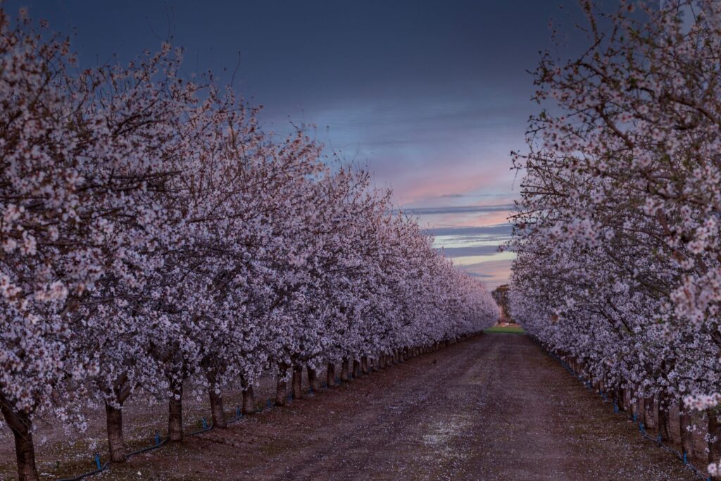
Almonds, pistachios and other permanent crops planted during the drought years, when growers replaced annual row crops with orchards that promised higher returns per acre-foot of water, cannot simply be turned off for a dry season. A pistachio tree takes seven years to produce a commercial crop. Pulling one out is a capital loss written in wood.
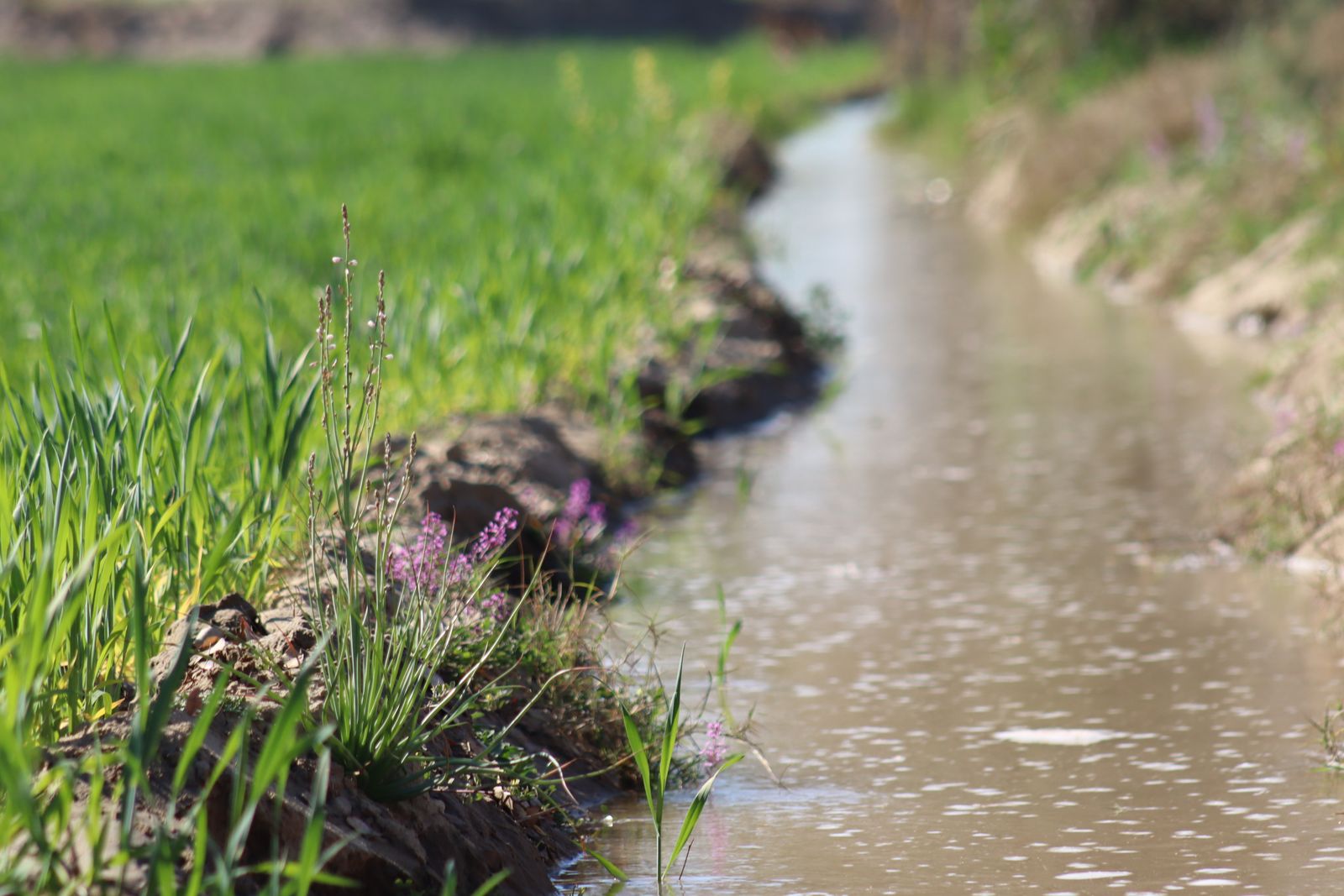
So the preferred compliance strategy is not cutting demand but adding supply through managed aquifer recharge. During wet winters — and California, despite the long drought, still has wet winters — surface water can be diverted onto fields, into recharge basins, or through modified flood channels that let it percolate down into the aquifer.
The 2023 water year showed what that looks like at scale. The Kings River delivered a record 4.5 million acre-feet of runoff, and agencies across the Kings Subbasin put roughly 500,000 acre-feet back underground, opening headgates onto farmland engineered with berms for exactly that purpose. Combined with reduced pumping, the subbasin recovered an estimated 1.28 million acre-feet of storage in a single year.
One wet year is not a system. Capturing that much water on average, every year, would require new conveyance, new permits to divert flood flows, and cooperation between irrigation districts that have historically sued each other more than they have collaborated. Wet years arrive when they arrive.
If SGMA works as written, the Central Valley in 2040 will have several hundred thousand fewer irrigated acres, more solar farms on retired cropland, a network of recharge basins that flood in wet years, metered wells reporting to a state database, and a stable — if lower — water table beneath the surviving orchards. Land subsidence will slow, though the compacted clay layers will not recover. The Friant-Kern Canal will carry closer to its designed volume again, once the remaining rebuilt sections finish construction.
If it does not work — if litigation stalls enforcement, if the board flinches at taking over a basin, if the political coalition that passed the law in a drought year unravels in a wet one — the alternative is not a return to the pre-2014 status quo. It is the physical exhaustion of the resource. Some sub-basins in the Tulare Lake bed are already close to it, with the remaining freshwater sitting above brackish layers that will migrate upward as pumping continues.
The 2014 law bought time. Twelve years of it are gone. The clay that held the valley’s water for the last ten thousand years, once collapsed, will not hold it again in any timeframe that matters to the people farming above it. The pumps are still running. The ground is still sinking, more slowly in some places, faster in others. The deadline arrives in fourteen more winters, and the aquifers will vote before the courts do.