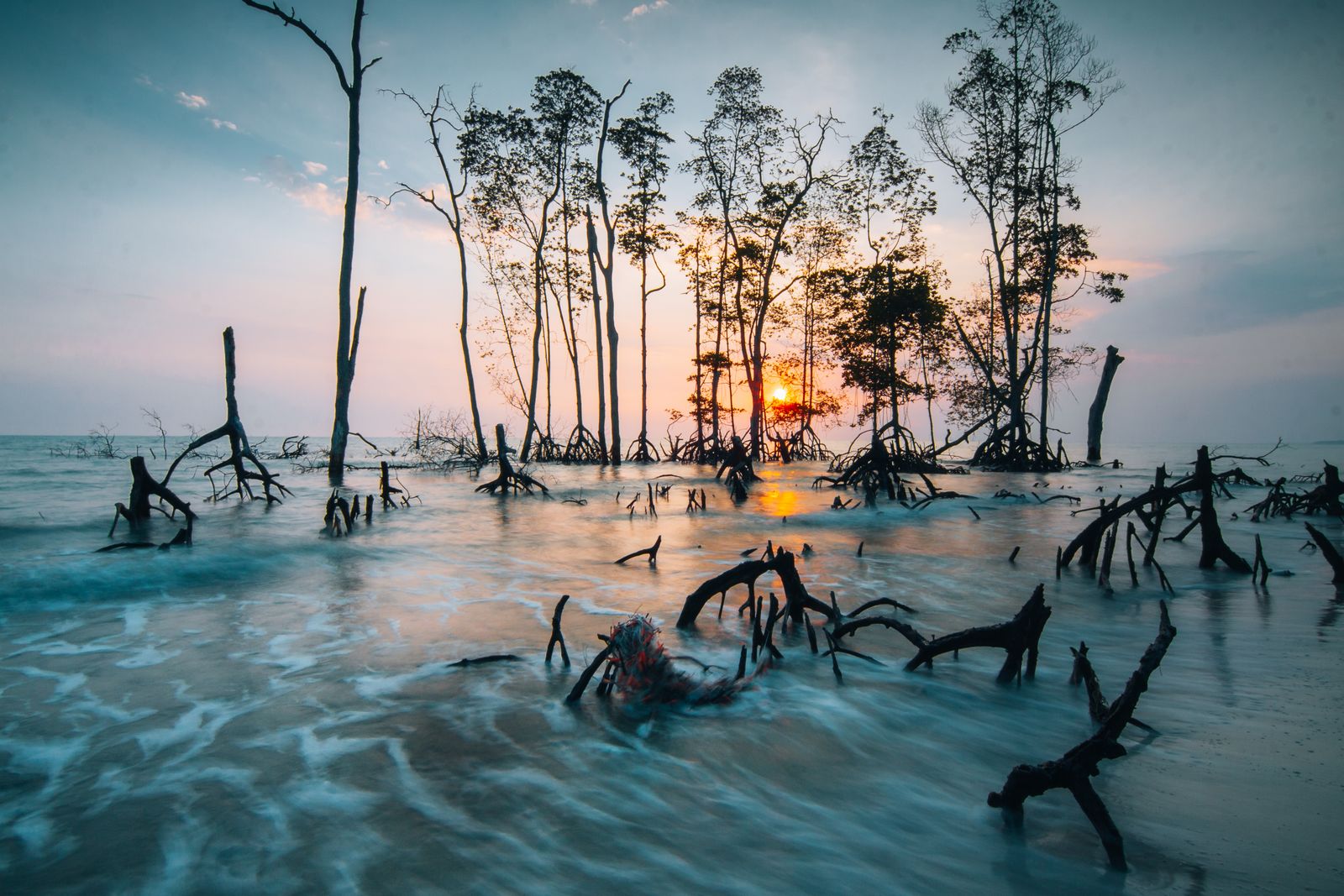
The answer is Bangladesh, but its transformation did not begin with trees planted after the disaster. The country reduced cyclone deaths from roughly 138,000 in April 1991 to a few dozen during some recent storms by strengthening several defences at once: concrete shelters, village warning and evacuation networks, coastal embankments, and mangrove forests that had been planted along parts of the coast since 1966. The trees help weaken waves, but the people, buildings and warnings behind them are what complete the system.
The April 1991 cyclone struck Bangladesh’s southeastern coast near Chattogram with winds estimated at about 225 kilometres per hour. A surge reaching roughly six to 7.6 metres swept across low islands and coastal settlements, killing an estimated 138,866 people. The catastrophe exposed not one missing defence, but several.
The forests came first
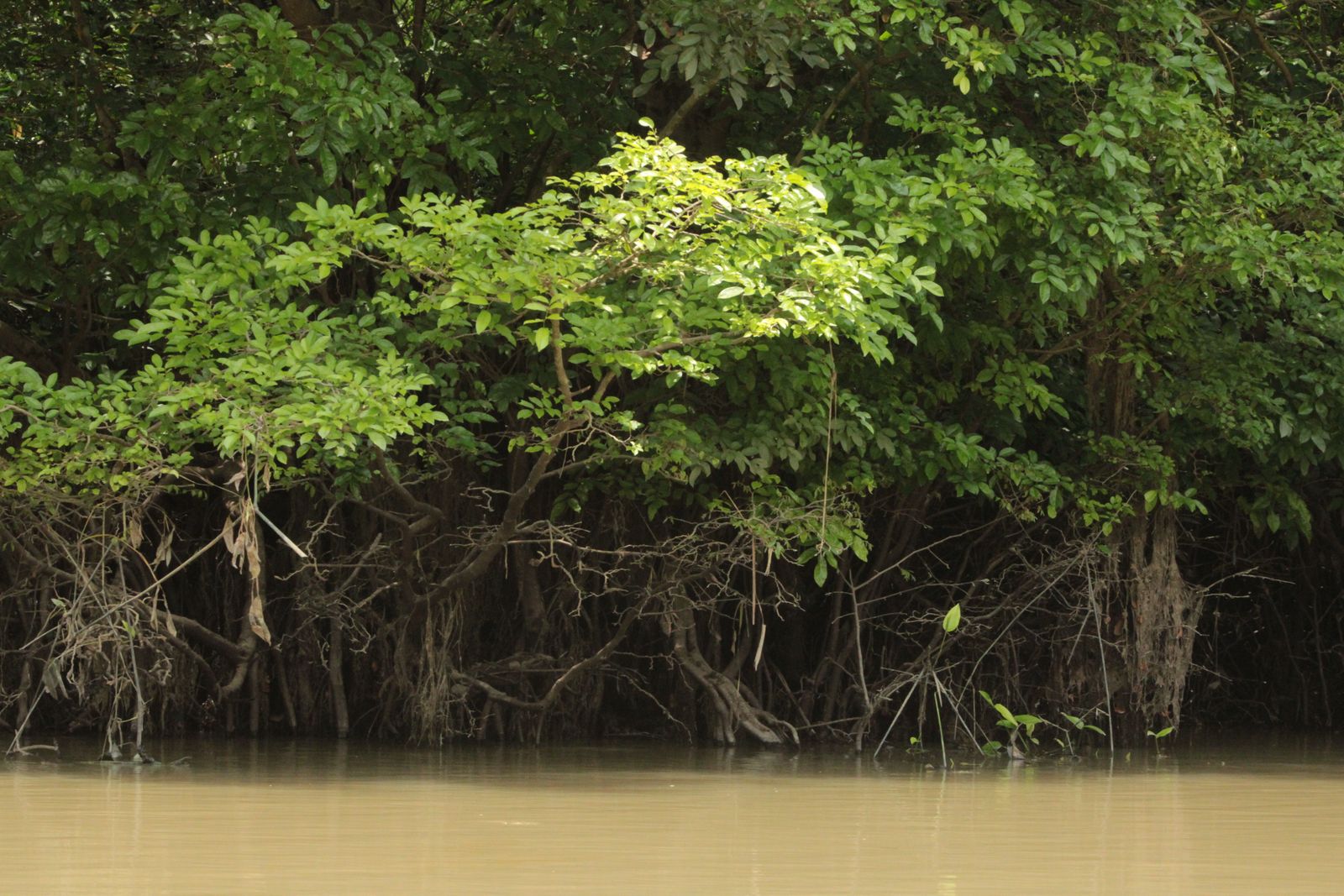
Bangladesh’s coastal planting programme predates the 1991 cyclone by a quarter of a century. According to the country’s Forest Department, mangrove afforestation began on newly emerged coastal land in 1966, both to stabilise sediment and to provide a green belt against cyclones, storm surges and erosion.
The plantations were established largely on chars, the shifting mud and sand islands created as the Ganges-Brahmaputra-Meghna river system deposits sediment at the edge of the Bay of Bengal. Fast-growing pioneer trees such as Sonneratia apetala, known locally as keora, can take root on raw tidal flats where most inland species would die.
These plantations should not be confused with the entire Sundarbans. The Sundarbans are a vast natural mangrove forest in southwestern Bangladesh and eastern India. Much of Bangladesh’s deliberate coastal afforestation lies farther east, across districts including Bhola, Noakhali, Feni, Chattogram and Cox’s Bazar.
Deltas are never fixed coastlines. Mars Daily has explored how ancient fan deltas can reveal vanished Martian shorelines and how Jezero crater’s delta records changing water levels. In Bangladesh, the same basic movement of water and sediment is visible in real time, creating new land in some places while rivers and tides strip it away elsewhere.
What 1991 changed
The 1991 disaster did not launch coastal planting, but it exposed the fatal gaps behind the shoreline. Warnings failed to reach many households clearly or early enough. Some residents did not believe the danger would be worse than previous storms, while others had no nearby structure high or strong enough to survive the surge.
A study of mortality after the cyclone found that reaching a strong structure made an enormous difference. In the surveyed communities, everyone who reached a concrete or brick building survived, while women, children and people unable to reach secure shelter faced much greater danger.
Bangladesh responded by expanding multipurpose cyclone shelters, improving roads leading to them, strengthening embankments and refining its community warning system. Many shelters function as schools during ordinary weather, then open their upper floors to families and livestock when a cyclone approaches.
By 2020, Bangladesh had about 4,171 established cyclone shelters. During Cyclone Amphan, pandemic distancing requirements led authorities to prepare approximately 10,500 additional schools, colleges and other buildings. Those temporary facilities should not be counted as 12,000 purpose-built cyclone shelters.
The human network is just as important. Bangladesh’s Cyclone Preparedness Programme has trained more than 76,000 volunteers, roughly half of them women, to relay forecasts, move through exposed communities and help households reach shelters before landfall.
What mangroves can and cannot do
Mangroves create resistance. Their trunks, branches, exposed roots and breathing structures force moving water through a dense field of obstacles, converting some of its energy into turbulence and friction. Short wind-driven waves can lose height as they pass through a sufficiently wide and dense forest.
A 2025 modelling study found that the strongest reduction generally occurred near the seaward edge, with a median wave-height reduction of about 62 percent across the first 100 metres of mangrove forest. The researchers also found wide variation between sites and warned that their model did not simulate the full behaviour of storm surges or typhoon conditions.
That distinction matters. Mangroves can reduce waves riding on top of a surge, slow currents and limit erosion, but they cannot make several metres of elevated sea disappear. Long-period storm surges can penetrate far inland, particularly where forests are narrow, broken or crossed by rivers and channels.
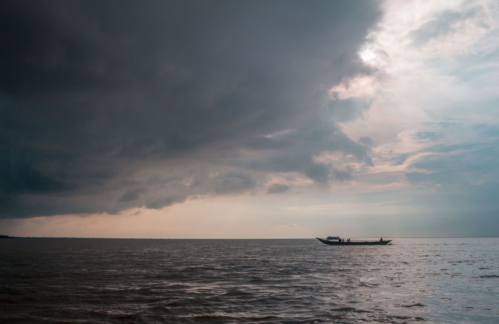
Evidence from elsewhere around the Bay of Bengal supports a protective effect without turning mangroves into a miracle wall. After the 1999 super cyclone in Odisha, India, researchers found that villages shielded by wider mangrove belts experienced fewer deaths than comparable villages with little forest. Their analysis also concluded that early warning and evacuation saved more lives overall.
The practical model is therefore hybrid. Forests take energy out of approaching water, embankments limit routine tidal flooding, warnings create time, evacuation roads create access, and raised shelters provide a final refuge when the other barriers are overtopped.
What the mortality curve really shows
The decline in deaths is dramatic. The 1970 Bhola cyclone killed about 300,000 people. The 1991 cyclone killed approximately 138,866. Cyclone Sidr killed about 3,500 people in 2007, while Cyclone Amphan caused 26 reported deaths in Bangladesh in 2020.
Those figures are not a controlled experiment. The storms followed different tracks, arrived with different tides and exposed different populations. Comparing their death tolls cannot isolate the precise share of lives saved by forests, shelters, forecasts or evacuation.
What the comparison does show is that exposure no longer automatically produces mass mortality on the scale seen in 1970 or 1991. Bangladesh now evacuates millions of people ahead of major landfalls, using volunteers, mobile alerts, radio, loudspeakers and local officials to translate a forecast into movement.
The system remains incomplete. The World Bank reported in 2022 that the government estimated more than 7,000 multipurpose shelters would be needed for wider coverage. Deaths may have fallen sharply, but homes, roads, crops, freshwater supplies and livelihoods can still be devastated.
The living barrier is changing
The natural Sundarbans and the planted coastal forests also face different ecological pressures. The Sundarbans contain older, more diverse forest, including the sundari tree, Heritiera fomes, from which the forest is commonly said to take its name. Coastal plantations are often younger and more heavily dominated by pioneer species such as keora.
Sundari trees have declined in parts of the forest as salinity, waterlogging, disease and reduced freshwater availability alter the conditions around their roots. Research has warned that increasing salinity is changing species distribution and threatening sections of the Sundarbans World Heritage ecosystem.
Plantations on newly formed chars face another problem: the ground beneath them can move. A belt that traps sediment and grows wider in one decade can be cut apart by a migrating channel or eroded from its seaward edge in the next. Planting a forest is therefore not the same as securing a permanent wall.
Access also determines who benefits from the defences. A shelter may exist but still be unreachable for an older resident, a person with a disability or a household several kilometres from an all-weather road. Families can also delay evacuation because they fear losing livestock, fishing equipment or the possessions on which their income depends.
What the delta actually built
Bangladesh did not replace concrete with trees. It built a defence in depth, using natural and planted forests where they could reduce waves and erosion, embankments where water had to be held back, shelters where people could rise above the surge, and volunteers who could persuade them to leave before the roads disappeared.
That makes the country’s experience harder to reduce to a single dramatic intervention, but more useful to other exposed coasts. A mangrove belt without evacuation can be overtopped. A shelter without an accessible road can remain empty. A precise forecast without a trusted person carrying it through the village can arrive as information and fail as a warning.
Along the Bay of Bengal, the first signs of a cyclone may still be almost quiet: a falling barometer, an emptying harbour, volunteers moving from house to house and the tide beginning to press higher against the roots. The difference is that the water now encounters several lines of resistance before it reaches the people waiting above it.