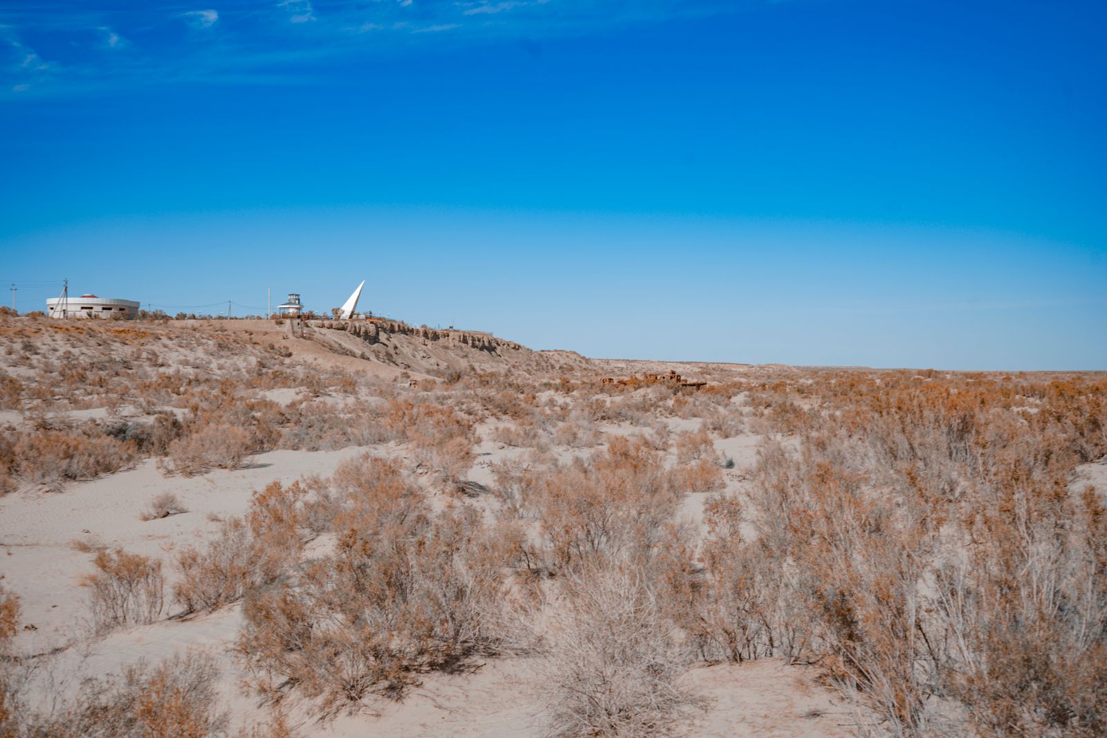
At 5:29:45 on the morning of 16 July 1945, a plutonium implosion device nicknamed the Gadget detonated atop a 100-foot steel tower in the Jornada del Muerto desert of southern New Mexico. The fireball reached temperatures hotter than the surface of the Sun, the shock was felt far beyond the test range, and radioactive debris began moving northeast with the wind.
Declassified records assembled by the National Security Archive put the contaminated area at more than 1,100 square miles of New Mexico. Nearby communities received no public warning explaining that radioactive fallout had crossed the land around them.
That is the part of Trinity that was easier to hide than the flash. The test succeeded as a weapons experiment, but the radioactive material it left behind became a problem scientists and government officials continued measuring for years.
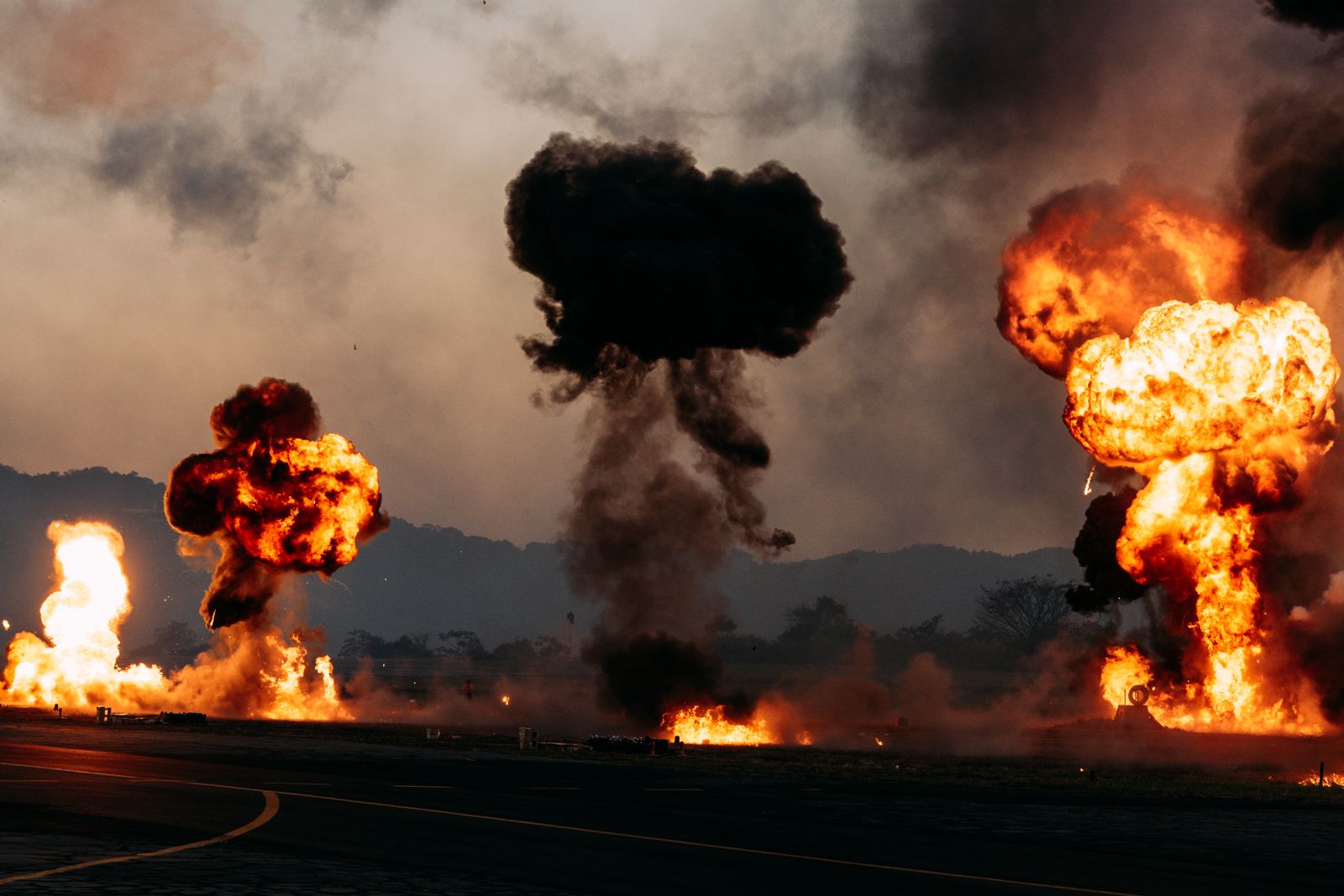
The Gadget on the tower
The Gadget used the more complicated of the two atomic-bomb designs developed at Los Alamos. In the plutonium design, conventional explosive lenses were arranged around the plutonium so that their simultaneous detonation would drive the material inward and create the conditions for a nuclear chain reaction. The White Sands Missile Range history of Trinity describes that implosion principle and records that the assembled device was raised to the top of a 100-foot steel tower before the test.
The Department of Energy’s official estimate for Trinity’s explosive yield is about 21 kilotons of TNT equivalent. The same historical record describes dust, fission products and unfissioned plutonium being thrown into the air as fallout moved northeast from ground zero.
The heat vaporised the steel tower and melted desert material into the pale green glass that became known as trinitite. Much of that material was later removed during cleanup, although pieces remain within the protected ground-zero area.
Where the fallout went
The height of the detonation mattered because the blast was close enough to the ground to entrain large amounts of dust and debris. Stafford Warren, the Manhattan Project’s chief medical officer, reported days later that radioactive material posed a potentially serious hazard across a band nearly 30 miles wide and extending almost 90 miles northeast of the test site.
Later surveys broadened the picture. A 1949 UCLA report examined roughly 1,130 square miles around Trinity, while a 1957 follow-up concluded that the area originally contaminated by fallout was actually greater than the earlier 1,100-square-mile estimate.
The monitoring records also show how incomplete the protection system was. An evacuation detachment had been assembled before the test, but no community evacuation was ordered. Nearby cattle and other animals were exposed, and investigators later documented superficial beta burns on livestock in the Chupadera Mesa area.
The cover story
The Army had prepared explanations in advance in case civilians noticed the blast or an evacuation became necessary. One version said an ammunition dump had exploded at the Alamogordo Bombing Range; another added that gas shells had been involved if residents needed to be moved.
That cover story became the public explanation after Trinity. The real nature of the test was not disclosed until after the atomic bomb was used against Hiroshima in August 1945.
Inside the classified project, eyewitness accounts captured what the official explanation concealed. James B. Conant, then president of Harvard and a senior Manhattan Project administrator, wrote a firsthand narrative of the detonation. Physicist Otto Frisch, whose earlier work with Rudolf Peierls helped establish the feasibility of an atomic weapon, also left a detailed account describing the progression from the flash to the fireball, cloud and arriving blast wave.
The isotope left by the testing era
Trinity was the first nuclear test, but it was followed by decades of detonations. According to Al Jazeera’s compilation of nuclear-testing data, at least eight countries conducted 2,056 nuclear tests beginning in 1945, including 507 atmospheric explosions.
Those later atmospheric tests produced one of the nuclear age’s strangest scientific markers. Carbon-14 concentrations rose sharply during the era of above-ground testing, particularly in the 1950s and early 1960s. Because that carbon became incorporated into growing human tissues, researchers discovered that it could act as a calendar.
A 2005 study in Nature showed that radiocarbon deposited in tooth enamel as a result of nuclear testing from 1955 to 1963 could be used as a remarkably accurate indicator of a person’s birth year. Trinity did not by itself create that later atmospheric spike, but it marked the beginning of the testing era that eventually produced it.
The downwinders
The people exposed outside the test site are now commonly described as Trinity downwinders. The affected New Mexico communities included Hispanic, Native American and other residents living across counties where radioactive material was deposited after the blast.
The health effects require careful wording. The National Cancer Institute’s Trinity assessment projected that fallout may have caused several hundred excess cancers, primarily thyroid cancers, among the 1945 New Mexico population. The researchers also stressed substantial uncertainty in both dose estimates and projected cancer numbers and said the available evidence cannot identify which individual cancers were caused by Trinity.
Federal compensation followed a separate path. A 2023 Nevada Independent account of downwind communities describes how the Radiation Exposure Compensation Act was enacted in 1990 around exposure connected with later Nevada testing. New Mexico residents exposed to Trinity were outside the law’s original geographic coverage.
That changed in 2025. Pub. L. 119-21, enacted on 4 July 2025, amended RECA eligibility, and the Justice Department’s current rules now list New Mexico as an affected area for downwinder claims, subject to the law’s residency and disease requirements.
Ground zero today
Trinity Site remains inside White Sands Missile Range, an active U.S. Army installation. Current Army visitor guidance says the site opens to the public once a year, on the third Saturday in October. The listed 2026 open house is October 17.
Visitors can walk to the stone obelisk marking ground zero and, when access permits, visit the McDonald Ranch House where the plutonium core was assembled. The Army says radiation levels inside the fenced ground-zero area remain above the surrounding natural background but are low: a one-hour visit to the inner fenced area produces an estimated whole-body exposure of roughly one-half to one millirem.
Most of the original blanket of trinitite is gone. Cleanup crews filled the depression and removed much of the glass, while a surviving portion of the original crater area remains protected and visible at the site.
The New Mexico desert as proving ground
Trinity was placed in the Jornada del Muerto because military planners wanted an isolated location already under government control and reasonably close to Los Alamos. Yet the region was not empty. Ranches, small communities and other residents existed beyond the boundaries of the test site, a fact the post-test radiation records made impossible to ignore.
A year later, the same broader White Sands region became the setting for another technological first. On 24 October 1946, a captured German V-2 rocket carrying a 35-millimeter motion-picture camera rose about 65 miles above Earth. The Smithsonian’s account of the flight identifies the resulting images as the first pictures of Earth taken from space. The rocket crashed back to the ground, but the film survived inside its protective cassette.
The two programs were different, but the geographic overlap is striking. Within little more than a year, southern New Mexico had hosted both the first nuclear-weapon test and the first photographic view of Earth from space.
What the numbers mean
Trinity’s roughly 21-kiloton yield was enormous by any ordinary measure, yet weapons developed later in the nuclear age became vastly more powerful. In 1961, the Soviet Union detonated Tsar Bomba, which Business Insider’s survey of major nuclear detonations places between 50 and 58 megatons. Even the low end of that range is more than 2,000 times Trinity’s official 21-kiloton estimate.
Trinity’s significance, however, cannot be measured only by explosive yield. Declassified records describe ranch cattle exposed to fallout on Chupadera Mesa developing superficial beta burns. Those animals became subjects of follow-up studies as investigators tried to understand what radioactive material from the test had done beyond ground zero.
Eighty years, still measurable
Many of Trinity’s short-lived radioactive products disappeared long ago, while longer-lived material remained measurable in the environment. Surveys conducted years after the explosion continued to detect plutonium in New Mexico soils, including well beyond the immediate test site.
Nuclear testing also left a broader global signature in sediments and other environmental records. But Trinity itself is not the formal geological boundary sometimes implied in popular retellings. The Anthropocene Working Group’s formal proposal placed its proposed boundary at 1952, using the sharp global rise in plutonium from later nuclear testing as a primary marker.
That proposal did not become part of the official Geological Time Scale. In March 2024, the International Commission on Stratigraphy and International Union of Geological Sciences approved the vote rejecting the proposed Anthropocene Epoch as a formal unit.
Trinity’s place in history does not depend on giving it a geological boundary it never formally held. At 5:29:45 on 16 July 1945, a device on a steel tower in southern New Mexico began the nuclear-testing era, and the physical record of what followed is still being read in the land around it.