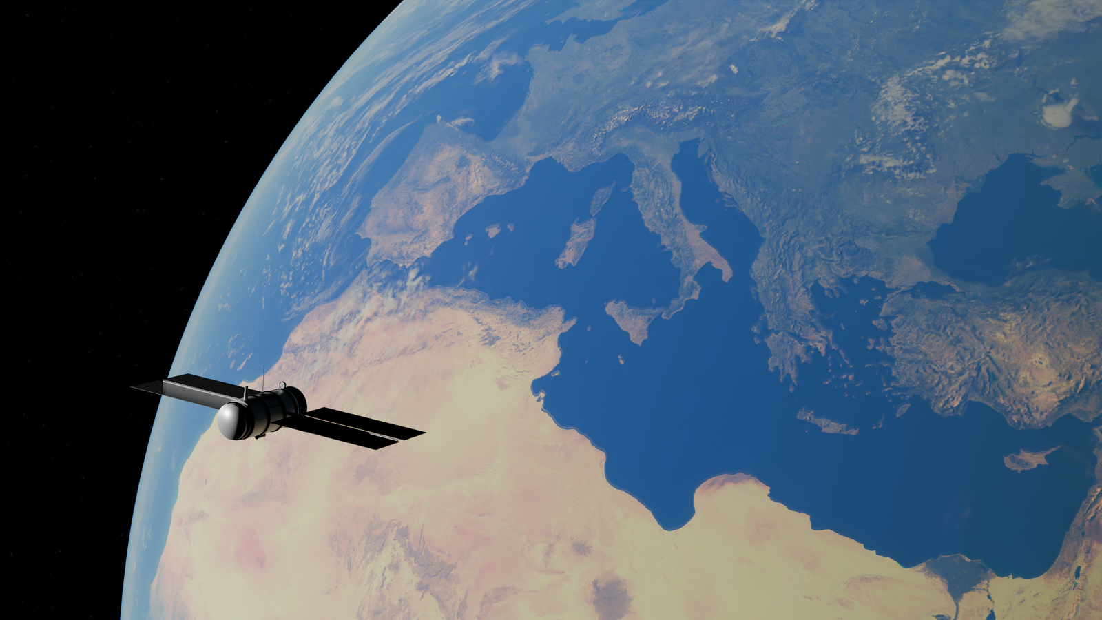
Terra reached its original 705-kilometre working orbit on 24 February 2000. According to NASA’s mission retrospective, the milestone followed eleven weeks of checkout and verification and eight orbital ascent manoeuvres after the satellite’s December 1999 launch.
Twenty years later, on 27 February 2020, the flight team performed Terra’s final inclination-adjustment manoeuvre. Without those periodic corrections, its equator-crossing time began moving earlier in the morning. Terra remained operational, but it was no longer being held in the orbit for which its observations were originally calibrated.
The change went beyond crossing time. NASA says Terra underwent an additional 6-kilometre orbital lowering in October 2022, taking it out of the 705-kilometre Earth Science Constellation altitude.
The night launch from Vandenberg
Terra rode an Atlas-Centaur IIAS launch vehicle into space from Vandenberg Air Force Base on 18 December 1999. It was NASA’s first Earth Observing System flagship, designed to study the planet’s land, oceans, snow, ice, atmosphere and energy balance as parts of one connected system.
Reaching the mission’s working orbit was a gradual process rather than a single push. Each ascent manoeuvre raised or adjusted the orbit while controllers checked the spacecraft’s condition and prepared for the next step. After eight such manoeuvres, Terra entered the sun-synchronous path that would define its first two decades of observations.
The orbit was designed around a 10:30 AM mean local equator-crossing time. NASA chose that timing because average cloud cover near the equator was relatively low, giving Terra’s instruments a clearer view of the surface while providing broadly consistent lighting from one pass to the next.
Five instruments, three countries
Terra carried five instruments contributed through partnerships involving the United States, Japan and Canada. Each was built to examine a different part of the Earth system.
MODIS, the Moderate Resolution Imaging Spectroradiometer, gathers data across 36 spectral bands. It became a workhorse for monitoring vegetation, snow and ice, fires, ocean colour, clouds, atmospheric moisture and surface temperature.
ASTER, developed through a partnership involving NASA and Japan’s Ministry of Economy, Trade and Industry, was designed to produce detailed measurements of land temperature, reflectance, elevation and surface composition. NASA JPL imagery shows how ASTER data have been used to examine features such as lava flows around Mount Etna.
ASTER originally operated visible and near-infrared, shortwave-infrared and thermal-infrared subsystems. The shortwave-infrared subsystem failed earlier in the mission. NASA later permanently switched off the thermal-infrared subsystem because of Terra’s power limitations, while visible and near-infrared observations continued.
MISR, developed at NASA’s Jet Propulsion Laboratory, uses nine cameras to view the same area from different angles. Those observations help researchers distinguish and characterise clouds, smoke, dust and other aerosol particles.
CERES, the Clouds and the Earth’s Radiant Energy System, measures reflected sunlight and thermal energy emitted toward space. Terra carried two CERES instruments, although only one remained functional late in the mission. The surviving instrument continued operating in biaxial scan mode as Terra’s crossing time drifted.
MOPITT, developed through a partnership involving the Canadian Space Agency, the University of Toronto and the National Center for Atmospheric Research, measured carbon monoxide in the lower atmosphere. It produced the longest-running record of carbon-monoxide concentrations collected from space before its shutdown.
A mission that lasted over two decades
Terra is in its twenty-seventh year in orbit. A NASA Earth Observatory overview illustrates the range of measurements gathered by the mission’s five sensors, including vegetation productivity, carbon monoxide, aerosols and elevation.
Fuel management drove the decision to stop making inclination adjustments. These manoeuvres consumed considerably more fuel than routine altitude corrections or debris-avoidance manoeuvres. By 2020, the team needed to preserve enough propellant to remove Terra from the constellation and lower its orbit near the end of operations.
Once the inclination adjustments stopped, Terra’s equator-crossing time moved earlier. That changed solar elevation, shadows, surface temperatures, cloud probabilities and the amount of reflected energy reaching some sensors.
Those changes do not make the archive unusable. NASA has said the new orbit did not reduce the overall quality of Terra data products, although the effects vary among instruments and individual products. Scientists must account for the changing observation time when comparing late-mission measurements with earlier records.
The first instrument retired
MOPITT became the first of Terra’s five main instruments to be fully retired. NASA says it was turned off on 9 April 2025 to conserve the satellite’s remaining power for other operations.
Its quarter-century record tracked carbon monoxide produced by wildfires, industrial activity and other combustion sources. Because the instrument provided near-global coverage, researchers could follow the transport of pollution across oceans and remote areas where surface monitoring is limited.
The observations remain valuable after the instrument’s shutdown. MOPITT data have been used to study long-range pollution transport and changes in atmospheric carbon monoxide over more than two decades.
Why the drift matters
Long climate records depend on continuity. If a satellite begins observing the same location at a different time of day, part of the measured change can come from lighting, temperature or cloud conditions rather than from a long-term environmental trend.
Terra’s later observations therefore need careful comparison with its earlier record and with measurements from missions such as Aqua, Suomi NPP and the Joint Polar Satellite System. The aim is to distinguish genuine changes on Earth from changes caused by the satellite’s evolving orbit.
NASA’s final Earth Observer editor’s column, published on 29 December 2025, marked the end of a publication that had documented Earth Observing System missions and their calibration work for nearly 37 years. Its archive remains available as a record of the programme’s development.
The stakes extend across several fields. Terra’s instruments contributed measurements of Earth’s radiation budget, aerosols, vegetation, land-surface temperature, fires, clouds and ocean biology. Keeping those records internally consistent allows researchers to use them in studies of climate, air quality, drought, ecosystems and natural hazards.
The retirement clock
Terra’s mission was still operating as NASA prepared for retirement. NASA’s December 2025 mission summary projected Terra’s end-of-science activities for February 2027, while noting that the timing depended on fuel and power limitations.
Terra was built before today’s stricter orbital-debris expectations. NASA’s published disposal plan calls for the spacecraft to use its remaining fuel for constellation-exit and perigee-lowering manoeuvres. Those burns lower the orbit and allow atmospheric drag to begin a slow descent.
The eventual re-entry will not be controlled or targeted toward a chosen ocean corridor. NASA’s Terra project scientist describes the planned outcome as a slow re-entry leading to an uncontrolled de-orbit. The precise timing will depend on the orbit and atmospheric drag after the spacecraft is passivated.
What twenty-six years looked like
Terra’s archive spans more than a quarter of a century of environmental change. Its instruments recorded wildfires, volcanic eruptions, major dust events, changes in vegetation, shifting ice cover, urban expansion and the movement of pollution through the atmosphere.
MODIS images became some of the mission’s most recognisable products. MISR added multi-angle views of aerosols, clouds and surface features. ASTER supplied detailed views of geology and land change, CERES measured the planet’s energy balance, and MOPITT followed carbon monoxide across continents.
The mission’s longevity also reflects decades of work by the same scientific community. NASA identifies Nyssa Rayne as Terra’s outreach and communications coordinator at Goddard Space Flight Center, David Diner as MISR principal investigator at JPL, and Norman Loeb as CERES principal investigator at Langley Research Center. Their work, and that of the wider instrument teams, has extended far beyond Terra’s original six-year design life.
The last morning pass
Terra now crosses the equator earlier than the 10:30 AM time around which its original observations were organised. The changing solar angle affects the spacecraft’s power balance as well as the conditions under which its instruments view Earth.
NASA plans an orderly end to science operations, followed by spacecraft passivation and the use of remaining fuel for orbit-lowering manoeuvres. The process will close a mission that needed eleven weeks and eight ascent manoeuvres to reach its working orbit in 2000.
Between Terra’s first observations and its eventual final transmission lies more than a quarter-century of watching Earth change. Its five instruments created records that will continue to be recalibrated, reprocessed and studied long after the satellite itself has gone silent.