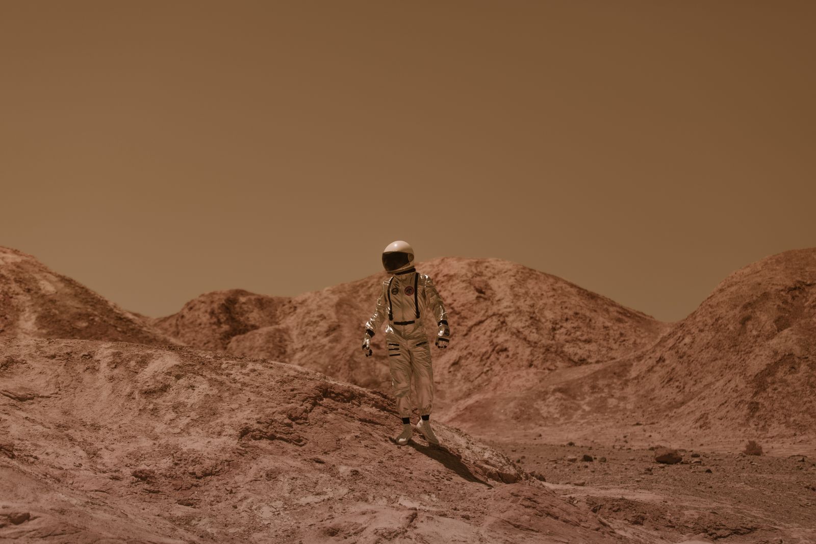
On November 14, 1971, Mariner 9 slipped into orbit around Mars and became the first spacecraft ever to circle another planet. The cameras were ready. The maps were not. A planet-wide dust storm had erased every crater, canyon, and volcano from view, leaving the probe staring at a featureless orange smudge for weeks. NASA had built a mission to map Mars in unprecedented detail, and Mars had drawn the curtains.
The storm had started in late September. By the time Mariner 9 arrived seven weeks later, it had wrapped the entire planet in an opaque veil of suspended dust roughly the size of a talcum-powder grain. Only the dark summit of Olympus Mons and the peaks of three neighbouring volcanoes poked above the haze, appearing as four mysterious dark spots that scientists initially could not identify.
A mission built to map a planet it could not see
Mariner 9 launched from Cape Kennedy on May 30, 1971, on an Atlas-Centaur rocket. Its twin, Mariner 8, had fallen into the Atlantic earlier that month after a launch failure, meaning a single surviving spacecraft now carried the full weight of the mapping mission. According to NASA’s Mariner 9 mission archive, the probe was designed to photograph roughly 70 percent of the Martian surface across a planned 90-day orbital tour.
The plan assumed a clear atmosphere. When the spacecraft arrived, the atmosphere was anything but.
Mission controllers at the Jet Propulsion Laboratory had been watching the storm grow through Earth-based telescopes since September. By early November, professional observers and amateur astronomers alike were reporting that Mars had turned into a featureless ochre disc. The dark markings that had guided mapmakers for centuries — Syrtis Major, Mare Erythraeum, Solis Lacus — were gone.
What the first images actually showed
The first pictures Mariner 9 returned from orbit were, in scientific terms, almost worthless. A flat, uniform haze. No shadows. No relief. No craters. The team at JPL had planned to begin systematic mapping within days of arrival. Instead, they were looking at what one team member later compared to a peach with the fuzz still on it.
Four dark spots stood out. They sat in a rough diagonal line across the Tharsis region of the western hemisphere. Nobody on the ground knew what they were. The prevailing theory, as reported in later retrospectives on the mission, was that these were the tops of enormous mountains poking through the dust — but Mars was not supposed to have mountains that big. The pre-Mariner consensus, based on decades of telescopic study, held that Mars was a relatively flat, cratered world like the Moon.
The four spots turned out to be Olympus Mons and the three Tharsis volcanoes: Arsia Mons, Pavonis Mons, and Ascraeus Mons. Olympus Mons alone rises 21.9 kilometres above the surrounding plain — roughly two and a half times the height of Mount Everest above sea level, and the tallest known volcano in the solar system.
They were the only Martian landmarks tall enough to breach the storm.
Waiting for the sky to clear
Mission planners made a decision that would define the entire flight. Rather than burn through the planned imaging sequence on a hidden surface, they would put Mariner 9 into a holding pattern. The cameras would keep watching, but the systematic mapping campaign would wait for the dust to fall.
It took until January 1972. Four months of orbital patience. The storm gradually thinned from the top down, revealing higher terrain first and lowlands last. Valles Marineris — the enormous canyon system that would later be named after the spacecraft — emerged from the haze in stages, its rim visible before its floor. By the time Mariner 9 finished its mission in October 1972, it had returned over 7,000 images covering essentially the entire Martian surface. It had also gathered something no one had planned for: the most complete record ever taken of a planet-scale dust storm, from inside orbit, in real time.
Why Martian dust storms behave this way
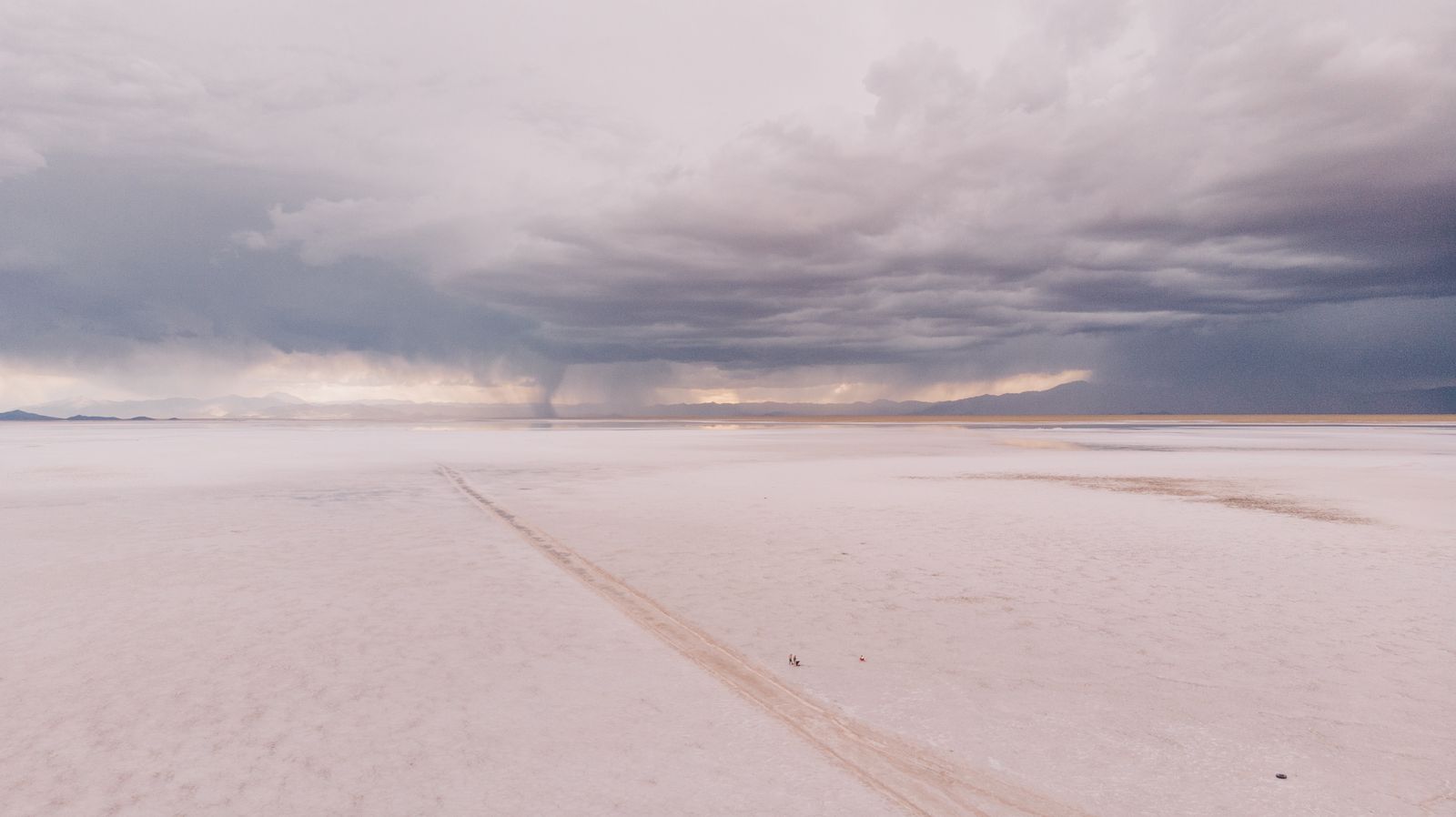
Martian dust storms happen every year, but only rarely do they go global. The 1971 storm was one of a small handful in the modern observational record to blanket the whole planet. The 2001 and 2018 storms were particularly notable — the last of which ended the Opportunity rover’s mission after its solar panels were starved of sunlight for weeks. NASA tracked the 2018 event across multiple orbiters and landers, giving atmospheric scientists their most detailed view yet of how a local storm cascades into a planetary one.
The mechanism is a runaway feedback loop. Sunlight heats airborne dust. Warm dust heats the surrounding atmosphere. Warmer atmosphere lifts more dust off the surface. That dust absorbs more sunlight. And so on, until the storm has consumed the whole southern hemisphere and jumped the equator.
Mars can sustain this because its atmosphere is thin — less than one percent the density of Earth’s at sea level — but the surface gravity is only 38 percent of Earth’s. Dust that gets lifted stays lofted. Fine particles can remain suspended for months before settling.
Global storms tend to cluster around Martian southern summer, when the planet is closest to the Sun and solar heating peaks. Mars Daily has covered recent modelling work on when the next global storm might arrive, though the forecasting problem remains genuinely hard.
The science the storm accidentally delivered
What looked at first like a disaster for Mariner 9 became one of the most productive accidents in planetary science. Because the spacecraft arrived during the storm and stayed on for a full year, its instruments watched the atmosphere transition from opaque chaos to clear equilibrium. Temperature profiles, dust distribution, atmospheric pressure at different altitudes — all of it could be measured in a way that would have been impossible during a clear-weather flyby.
Dust storms also turn out to be a critical part of how Mars loses its water. When dust storms lift water vapour high into the atmosphere, solar ultraviolet radiation splits the water molecules, and the resulting hydrogen escapes to space. Mars Daily has looked at how dust storms drive Martian water loss, a process that has been quietly draining the planet for billions of years.
The idea connects to a bigger story about Mars’s long decline. The planet was once a warmer world of rivers, lakes, and a thicker atmosphere, but after its internal dynamo died and it lost the magnetic shield that helps protect an atmosphere, the solar wind stripped much of its air away over billions of years. Dust storms are the final act — a mechanism for lifting the last of the water high enough to be lost.
What Mariner 9 finally saw
When the dust cleared, the map of Mars that emerged was almost nothing like the one scientists had expected. The southern hemisphere was ancient, heavily cratered highlands. The northern hemisphere was younger, smoother lowlands. A single volcanic province in Tharsis held mountains taller than anything on Earth. A canyon system stretched more than 4,000 kilometres across the equator — long enough to reach from New York to Los Angeles, and in places seven kilometres deep.
There were dry riverbeds. Braided channels. Outflow features that looked, unmistakably, like they had been carved by catastrophic floods. The pre-Mariner picture of Mars as a dead, Moon-like ball collapsed within months. In its place came a planet with a violent geological past and, quite possibly, a wetter one.
That reframing set the direction of every Mars mission that followed. Viking landed in 1976 partly because Mariner 9 had shown there were places worth landing. The Global Surveyor, Odyssey, Curiosity, Perseverance, and every other spacecraft to reach Mars owes its target list to the maps Mariner 9 made once the dust finally settled.
The four months of nothing
Consider the position of the JPL team through the last weeks of 1971. They had launched a spacecraft on a 398-million-kilometre journey. They had inserted it flawlessly into orbit — the first time humanity had ever done so around another planet. And for weeks, the pictures coming back showed a fuzzy orange ball with four dark smudges nobody could explain.
The temptation to burn film — the imaging system used a vidicon tube with limited operational lifetime — must have been immense. Instead, the team throttled back, waited, and let the planet reveal itself on its own schedule. When the storm finally lifted in January 1972, Mariner 9 had enough life left to photograph nearly every square kilometre of the Martian surface, discover the largest volcanoes and canyons in the solar system, and image both Phobos and Deimos in detail for the first time.
The lesson, absorbed by every mission since, is that Mars keeps its own calendar. Dust storms come when they come. Landers get buried. Solar panels get starved. Orbiters occasionally stare at a blank planet for months. The 2018 storm that killed Opportunity was, in a sense, a direct descendant of the 1971 storm that greeted Mariner 9 — the same feedback loop, on the same planet, doing the same thing five decades apart.
Somewhere in the Tharsis region right now, dust is being lifted off the surface by a small daytime whirlwind. Most of it will settle by nightfall. But every few Martian years, the wind picks up a little more, the atmosphere warms a little faster, and the loop closes on itself. When it does, whatever spacecraft happens to be in orbit will see what Mariner 9 saw in November 1971: a planet that has decided, for a while, not to be looked at.